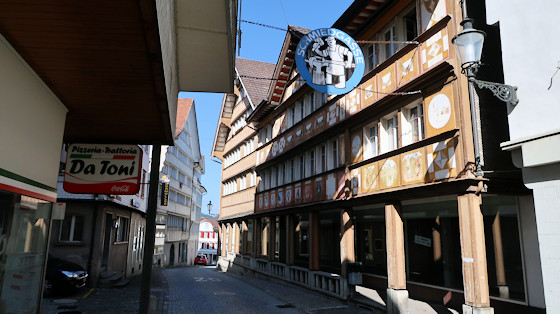
This is probably one of the most beautiful stages of the Way of St. James in Switzerland. It follows the ridges into Toggenburg. In Herisau we walk past the Ref. church to Schmiedgasse. There we branch off to the right and arrive at the "Neue and Alter Steig‟ down into the "Alti-Müli‟ district to the main road roundabout (with WC) and to Degersheimerstrasse. From there we then branch off into Schlossstrasse.
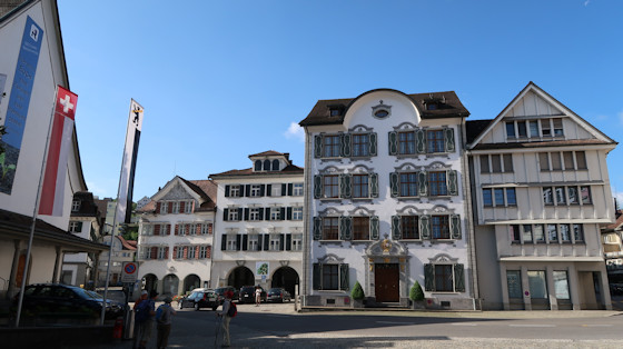
Start in Herisau
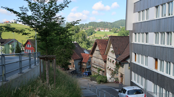
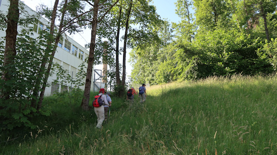
Immediately after the bridge over the Glatt (approx. 700 m above sea level), the trail climbs steeply.

Soon you have a beautiful view back to Herisau.
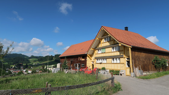
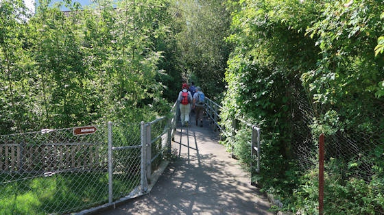
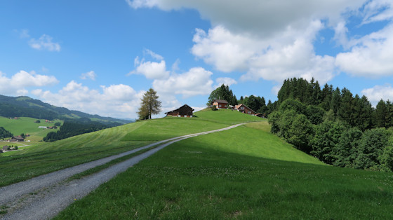
We follow the well-marked, uphill trail and arrive at the Böhl farm.
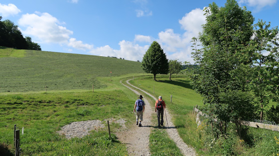
The route goes steadily uphill along very beautiful field and meadow paths.
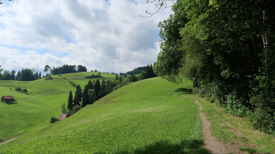
Over gentle mountain meadows and then through the forest, we climb in a southerly direction up to the hamlet of Nieschberg, about 200 m above sea level.
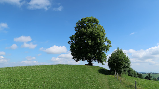
At this "Gipfellinde‟ (Summit lime tree) you have a beautiful view of Herisau and the distant Lake Constance. You can only guess at Lake Constance in the photo.
This was our first rest stop.
Continuing towards the south, the mountain trail leads us to the Hörnlipass.
We are crossing the Hörnlipass ...

... and come to the Vollhofstatt homestead.
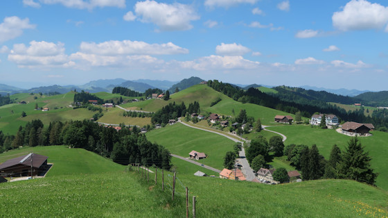
We stay on the mountain trail, which turns slightly uphill in a westerly direction and leads us above Horschwendi over pastureland past farmhouses and forest edges to the Säntisblick.
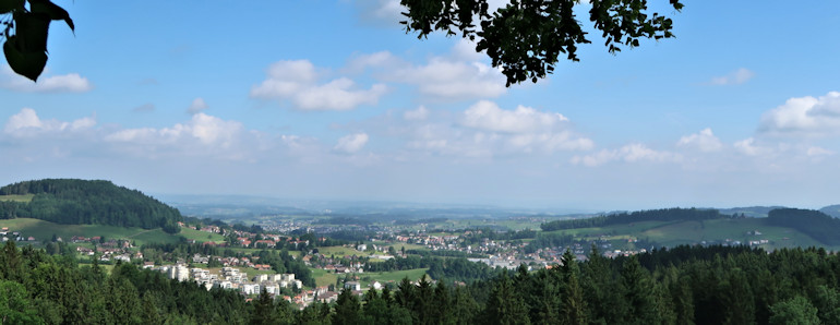
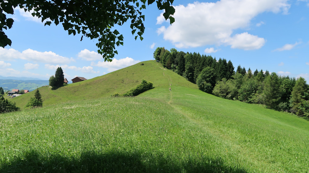
The path continues uphill on a ridge and offers a wonderful view of Schwellbrunn.
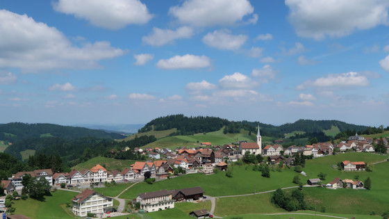
Schwellbrunn, the highest community in the canton of Appenzell Ausserrhoden, lies 972 m above sea level. and offers a fantastic view of the Alpstein and as far as Lake Constance.

Panorama of Schwellbrunn
The trail leads south past Schwellbrunn, through alpine meadows and up through the Risi forest to the Risi-Hirschen junction. Risi-Hirschen junction. From there we take the mountain road to the right up to the hill and continue westwards over the mountain chain to the "Sitz‟.
View of "Sitz‟ in the centre of the picture, the highest point of today's Way of St. James.
Where we are standing, however, it is still a bit higher because we had made a mistake at a turn-off.
Down the road is the restaurant Hirschen.
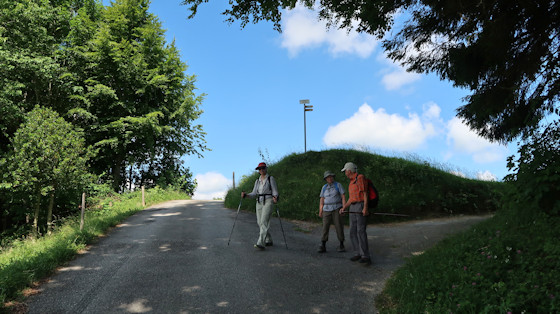
Ascent to the „Sitz"
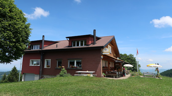
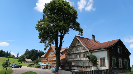
We arrived at the vantage point "Sitz‟ (1083 m). Here at the Restaurant Alder we had a short rest.
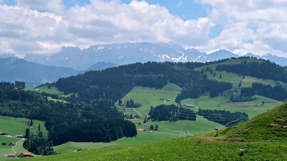
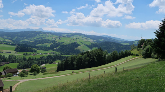
From here you have a very nice panoramic view. The photo shows the view of Säntis, which is somewhat hidden in the clouds. The landlady assured us that it would be completely visible today. But we didn't want to wait that long.
From "Sitz‟ a footpath goes üover the sloping mountain meadow down to the mountain road at the Landscheidi inn. This path is also part of the "Rätselweg‟ (Riddle trail) of Schwellbrunn.
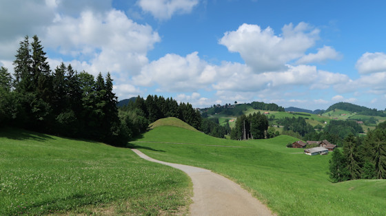
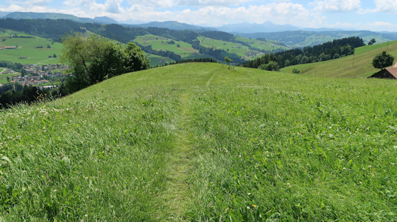
Dann geht es weiter über einen wunderschönen Wiesenweg. Den wollte ich unbedingt im Foto festhalten.

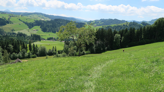
Meadow path with a view
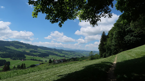
We cross the mountain road and climb southwards to the Höchi and from there along the chain of hills. From there we continue along the ridge of hills via Arnig and Lindschwendi down to the Chäseren inn.
In the valley in front, Sankt Peterzell can be glimpsed.
From the hamlet of Ämisegg begins a somewhat steep descent ...
... which first crosses a meadow and then turns into a small road.
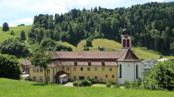
We descend the steps and the church of Sankt Peterzell is already in front of us.
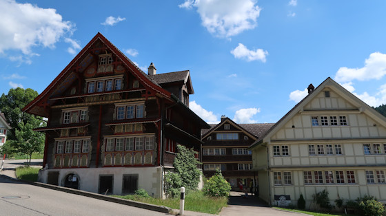
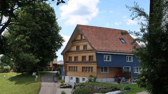
The village of Sankt Peterzell in the Neckertal (Neckervalley) has some very beautiful old Appenzeller houses. Here the "Red House‟ with the picturesque wooden façade
The place name St. Peterzell goes back to a monastery-like institution. This was first mentioned in a document in 1178 as "cella sancti Petri‟. Originally, it was probably a hermit settlement. In 1214, St. Peterzell was designated as a monastery. In the 1220s, the institution only had the rank of a provostry and was subject to the Benedictine Abbey of Alt St. Johann as a priory. In 1227, the name was transferred to the village.
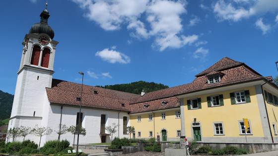
Two sections of the Way of St. James meet here, the Appenzell way and the Rorschach way.
This is what the baroque church looks like.

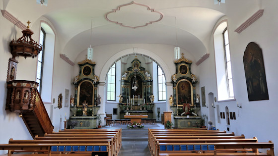
The high altar with Peter and Paul.
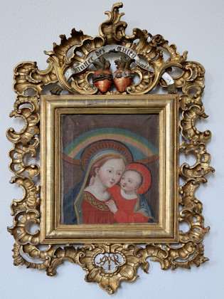
I noticed this picture of the Virgin Mary ...
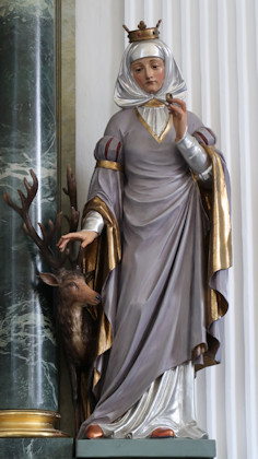
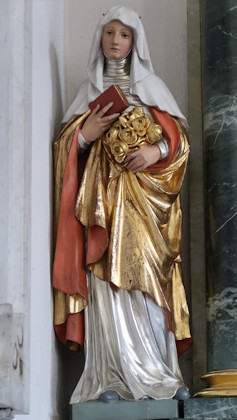
... and the statues of St. Ida (with the stag) and St. Elisabeth of Thüringen (with the roses).

