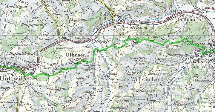
The Jakobsweg (Way of St. James) from Willisau to Huttwil leads along forest edges and over mountain ranges with repeated magnificent views of the Bernese Alps and the Mittelland. The route is 15.5 km long and the pure hiking time is approx. 4 hours.
Immediately after Willisau, the road climbs to Gütsch.
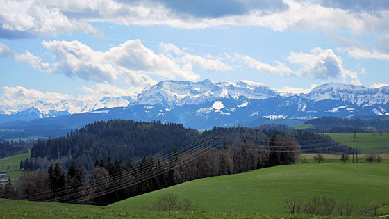
In clear weather, the magnificent Alpine panorama lies before us. We see: Rosenhorn, Mittelhorn, Wetterhorn and the Fiescherhörner.

The path goes gently uphill through meadows

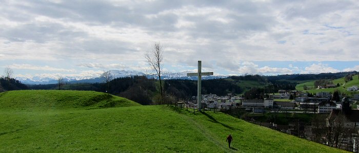
Ascent to the Willbrig Forest
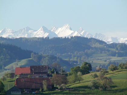
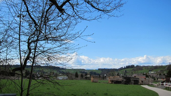
We admire the view of the snow-covered Mount Pilatus
We cross the Willbrigwald in a north-westerly direction and, passing the Schwarzwald farmstead, arrive at the hamlet of Olisrüti.
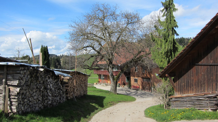
Black Forest Farmstead
Here we climb the hill in a westerly direction to the edge of the Howald, which we follow to the top of the forest and around it. We then continue to Hegihof, which lies to the south. From here we follow the country road in the direction of Zell. On a field path and a short forest passage we come down to the river Luthern.

The name Luthern has nothing to do with the reformer, but with the German adjective "lauter" as in bright, clean, pure. The small river comes from the Napf and flows further upstream through the village of the same name, Luthern. Over the bridge there we reach the houses in Vorder-Schache, cross the Warmisbach and climb up the slope on a field path to Ufhusen.

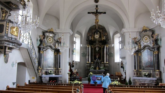
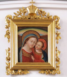
The parish church of St. John and Catherine, built in 1780, is located in the mountain village on the ridge. The image of Mary of Good Counsel hangs in the gallery under the organ.

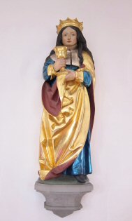
Saint Catherine and Saint Barbara
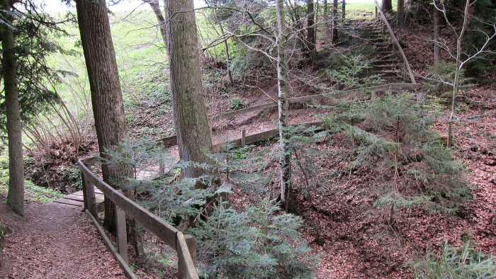
We leave Ufhusen in the village centre and head southwards across meadow slopes down into the wooded ditch of the Cholerlochbach stream. On the opposite side we climb up in a westerly direction, hike along the edge of the forest and reach the Chammerewald through a small wood and along the meadow slope.
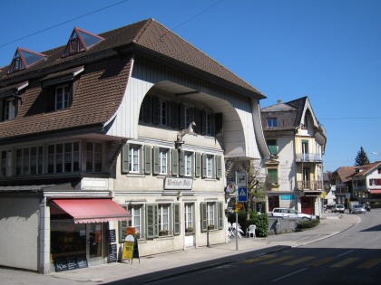
We cross this forest on the northern edge and turn right to Huttwil-Rütistalde before the end of the forest. Heading west, we come across the Langete to Eriswilstrasse, which we cross to reach the centre of the small town and Huttwil's main street on the parallel Friedhofweg. Worth seeing are the ref. town church and the beautiful market fountain.
Huttwil comes into view
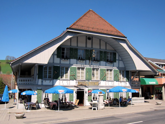
Rössli
Krone
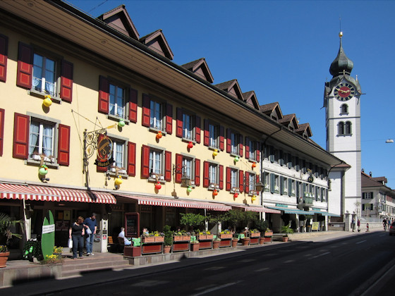
Main street Huttwil (in Easter decoration) with the Hotel Mohren, which was already an important pilgrims' hostel in the 13th century. In the background the ref. parish church.
Willisau
to Dürrenroth