In 2007 it was still quite difficult to find the way. This is shown by the entries in the pilgrim's book of the Bucher Inn in Würmla. Almost every second pilgrim or group of pilgrims got lost. But that was once. In the meantime, exactly from 10th April 2011 on the path was signposted and now runs a little differently.
Between Ried and Sieghartskirchen the Jakobsweg now runs next to the Elsbach. A new path has been created. It is also a little shorter and you can save yourself the small climb.

Right after Ried the old path leaves the main road. A blue scallop confirms that we are right. We make rapid progress along side paths that are well described in the guide and run parallel to the main road.
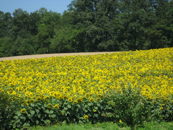
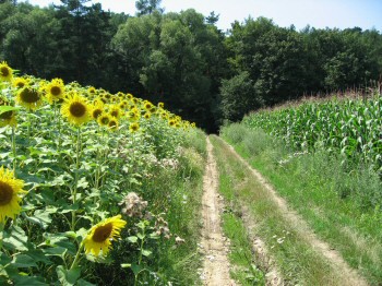
The sunflowers shine and wave at us.

Shortly before Sieghartskirchen we return to the main road. Does Sieghartskirchen greet its pilgrims here?
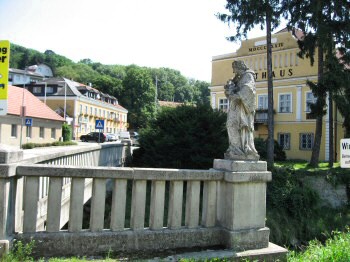
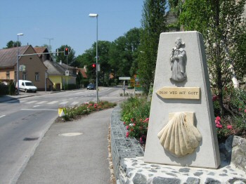
Saint Nepomuk guards the bridge over the small Tulln in Sieghartskirchen.
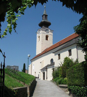
The parish church is dedicated to St. Margarethe. It was originally Romanesque, was rebuilt several times and is now baroque inside.
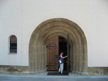
The entrance portal points to the late Romanesque origin.
In front of the church there is another Nepomuk.
You can't miss where the Way of St. James goes.
The path described in the book by Peter Lindenthal leads in a straight line over the Heuberg. It is much shorter and more direct than the newly signposted Way of St. James. Probably Dietersdorf also wanted to profit from the blessing of the Way of St. James. I would go over the Heuberg in dry weather, otherwise the signposted path is recommended, because it avoids the muddy stretch.
After a long ascent on the Lindenthalschen Weg (approx. 120 metres in altitude) in the hot midday sun, we were looking forward to the shady forest that is visible here.
The joy did not last long, because the now almost hollow path became more and more muddy (Austrian: gatschiger). We had to walk beside the path through the dense forest.
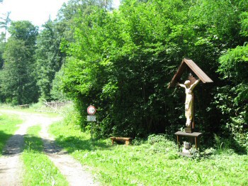
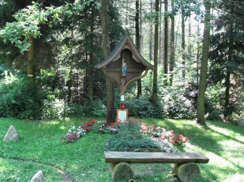
After the "Gatsch" (mud) stretch we passed this way cross.
Finally, Siegersdorf. Vreni dreams of an ice cream parlour (Glace) and increases the speed.

Le seul endroit où l'on pouvait se rafraîchir était la fontaine de Saint-Jacques à Siegersdorf.

After Siegersdorf and the crossing of the big Tulln, an ascent in the forest begins on the other side of the valley. The entrance can only be found by reading the guide carefully. Then many small wooden plaques show the way. There is also one above our resting place. But it is not always easy to find the wooden plaques.
Towards the end of the ascent there is a fork in the path. This is not described in the guide. One branch leads to the left to a clearing, the other one stays in the forest and goes slightly downhill. I think this is the place where many pilgrims get lost. We stood there for a long time, looked in vain for a wooden plaque, consulted the guide and the map and decided on the right-hand path, which leads slightly downhill, because it was a little more straightforward and therefore seemed to correspond more to the map.
This was a good thing, because the path that later ascended again crossed another one and led to the holy oak with a statue of the Virgin of Medjugorje. Several benches invite you to rest there.
From now on the path is really well marked. The washed-out red-white-red markings mentioned in the guide shine in fresh colours, yellow arrows and the wooden plaques show the
way.
The trail continues evenly, or slightly downhill to the "Iron Hand" and from there downhill (in case of doubt keep downhill and left).

Here we walk towards our destination before Holzleiten.
Würmla is reached. We stayed overnight at the Gasthof Burger and thank for the warm welcome and the good dinner.
In the vicarage behind the church we received the pilgrim's stamp and had a stimulating conversation with Father Resch, who looks after the pilgrims here.
He also gave us an information sheet for pilgrims regarding accommodation in Paudorf. The pilgrim brotherhood St. Altmann runs a pilgrims hostel (mattress camp). They can be reached under the Austrian mobile phone number 0664 63 46 176.


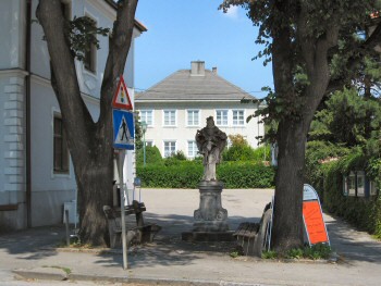
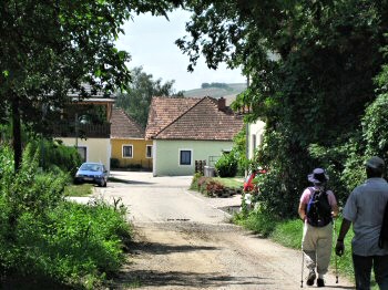
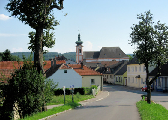
In the picture the parish church St. Ulrich and the Burger Inn.
In the baroque interior of the church there is a copy of the Mariahilf picture at the main altar.
In this church in Würmla my great-great-grandfather Josef Eichinger married the great-great-grandmother Katharina Linder on June 4, 1817!
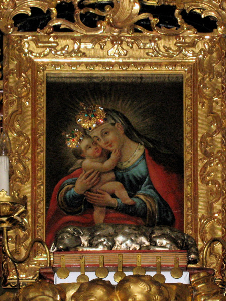
Mariahilf picture in the parish church of Würmla
Mariahilf picture, Vienna Mariahilf

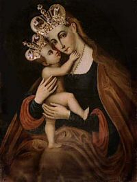
Mariahilf picture, Church of St. James Innsbruck

Purkersdorf - Ried

Wuermla - Herzogenburg
PS: The entries in the pilgrim's book of the Bucher Inn deal with the topic "Gatsch" (mud) and "Verirrt" (lost). One entry deals with four hours wandering lost in the forest. But that was in times before the continuous marking of the Way of St James.